Sailing planning – navigating the boat.
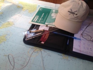
To anyone interested, sailing is lots of efforts understanding how to plan navigation – establishing way points from Nautical charts, recording bearings and wind drifts. And you put those in the chart plotter – the boat electronics. Progress from way point to way point is recorded from the chart every 30 mins.
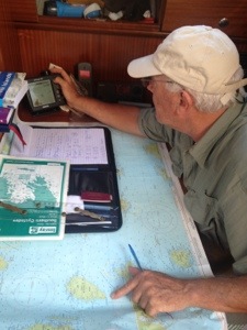
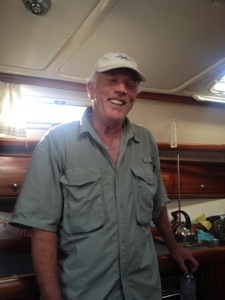
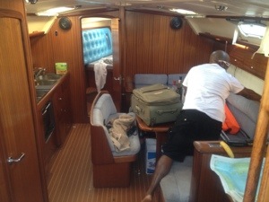
All of this may not seem hard work, but it is sophisticated manuvering involving a skipper who has done this for last 50 years of 65 he has spent so far on Mother Earth. We will be nothing without our captain – Peter Roberts.
Our next destination is an island called Siros – 42 Nt Miles from where we are as I type this. Siros is about 20 NM from Myconos – where we are headed for our day long stop before we finally head towards to Santorini.

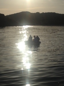
Chris, Mario & Bo have gone to visit temple. This will get the planned screwed up if they don’t show up by 11:00 am. We have 42 nMiles to go and that will take atleast 8 hours of sailing/motoring.


Previous post
Good Morning from Temple of Posiedon

Next post
Life is what you make it
You have to be logged in .